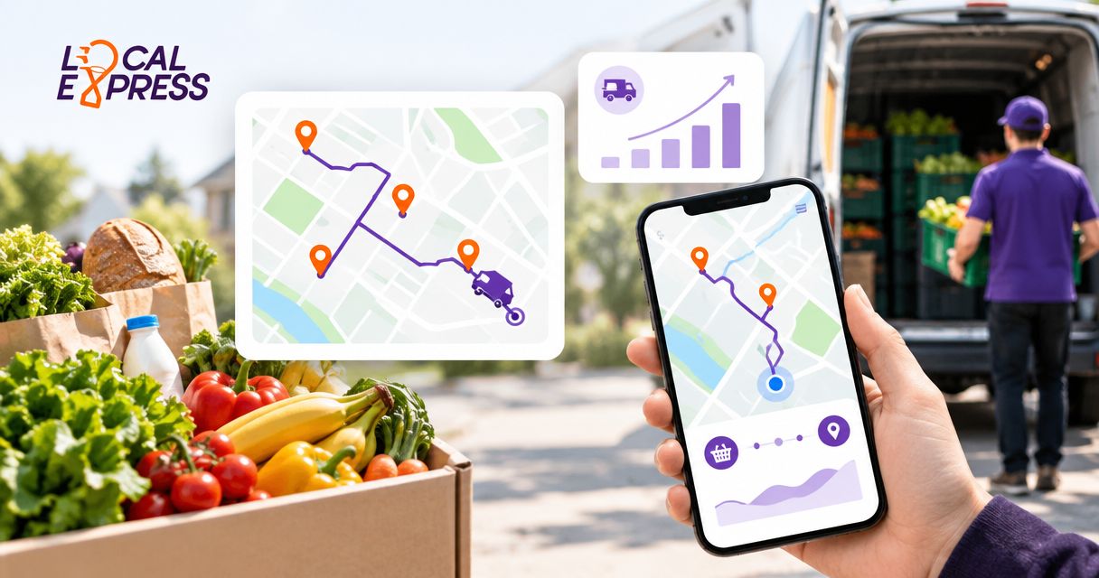
Instead of manually retyping grocery delivery addresses into Google Maps, build an approved stop list and hand each driver a navigation route. Google Maps delivery route optimization requires a separate planning step: Maps provides directions, but it does not automatically sequence deliveries around grocery time windows, vehicle capacity, or order readiness.
- Google Maps delivery route optimization starts with an approved stop sequence, not automatic grocery dispatch.
- Localexpress serves independent grocers needing grocery ecommerce, order management, and last-mile delivery.
- Use Google Maps for driver navigation; keep delivery windows and completion records in your grocery workflow.
- Validate addresses and regenerate navigation links when approved stops change.
Why this matters
A driving route and a grocery delivery plan solve different problems. Google Maps finds roads between destinations; your dispatcher must decide which orders belong on the vehicle, when they can leave, and which customer receives them first.
Plan the deliveries before opening navigation. Otherwise, a geographically convenient sequence can conflict with a promised delivery window or send a driver toward an order that is still being picked.
Localexpress provides grocery ecommerce, order management, and last-mile delivery for regional and independent retailers. Those functions belong upstream of navigation; this guide explains a practical handoff without assuming a built-in Google Maps connector.
For your 2026 delivery workflow, keep the order record as the source of truth. Opening directions must not change an order to delivered.
Before you start
- Prepare an approved delivery manifest. Include the order identifier, complete street address, delivery window, assigned driver, fulfillment store, and readiness status. Keep apartment numbers and access instructions in a separate driver-accessible record.
- Prepare the driver's phone. Install Google Maps, allow location access, and verify that the driver can open the manifest securely. Use an Android phone for the app instructions below; other interfaces differ.
- Separate route planning from navigation. Google Maps does not automatically optimize your delivery-stop order around grocery constraints. Google Maps Help documents a limit of 9 stops, including the final destination, for a multiple-destination route; split larger manifests before building app routes.
The non-obvious setup issue is address quality. A valid-looking street address can place the driver at the wrong entrance, especially at apartment complexes or properties with multiple buildings. Confirm the delivery entrance before dispatch, not after the driver reaches the map pin.
Choose the right handoff
Use the simplest workflow that preserves your dispatch rules. These are operating approaches, not claims about a specific platform integration.
| Workflow | Best for | Advantage | Limitation |
|---|---|---|---|
| Manually entered Google Maps route | An independent grocer with a manageable, dispatcher-approved stop list | Uses the driver's existing navigation app | Addresses and stop order require manual checking; changes require another handoff |
| Generated single-stop navigation links | A regional grocer connecting an order record to driver navigation | Avoids repeated address entry and makes the next destination explicit | Requires implementation and testing; does not optimize the whole route |
| Delivery planning followed by Google Maps navigation | A grocer assigning orders across drivers, stores, and delivery windows | Separates operational decisions from road directions | Requires a planning process or system and accurate order data |
Use manual entry to establish the process, then automate the handoff—not the assumptions. A generated link does not prove that an order is ready, that the driver has room, or that the customer window remains achievable.
Order manifest
Start with the orders, not the map. The manifest defines what the driver is authorized to deliver and gives the dispatcher a record to reconcile afterward.
- Select ready orders. Exclude canceled orders and orders still awaiting picking, substitutions, or packing approval. Apply your store's release rules before assignment.
- Validate each destination. Check street number, street name, city, state, and ZIP code. Resolve incomplete addresses with the customer before adding them to the route.
- Assign the fulfillment store and driver. Use the location holding the packed order as the departure point. Do not combine orders from different stores without an explicit collection plan.
- Record delivery constraints. Keep the promised window, customer contact method, entrance details, and any handling instructions with the order.
- Create a dispatch version. Save the approved manifest with a version or dispatch timestamp so the driver can identify the current assignment.
Expected result: Every assigned stop has a ready order, a verified destination, and a clear owner. The dispatcher can match each map destination back to its order identifier.
For a 2026 rollout, review who can access the manifest before sharing it. Navigation links do not need customer names, basket contents, payment information, or complete order notes.
Stop sequence
Decide the delivery order before entering destinations. Geographic proximity is useful, but it is not the only rule that matters for a grocery route.
- Set the departure point. Use the store's actual driver pickup location rather than a general store pin if those locations differ.
- Group compatible deliveries. Keep orders with compatible delivery windows and practical travel paths together. Check vehicle capacity and your approved handling procedures.
- Order the stops. Put the destinations in the sequence the driver should follow. Check customer windows against travel time and the time needed to park, unload, and complete the handoff.
- Decide whether the driver returns. If a store return is required, account for it in the plan and in the app's stop limit.
- Approve the sequence. Resolve any conflict before loading. Do not let the driver discover an impossible schedule after departure.
Expected result: You have an approved list beginning at the correct pickup location, followed by delivery stops in dispatch order and any required return.
A map's estimated driving time is not a complete delivery schedule. Parking, building access, unloading, and customer contact happen outside the road journey; account for them in your planning process.
The workflow below keeps those decisions separate from navigation. Each stage has its own output, so a directions link cannot silently replace the dispatch record.
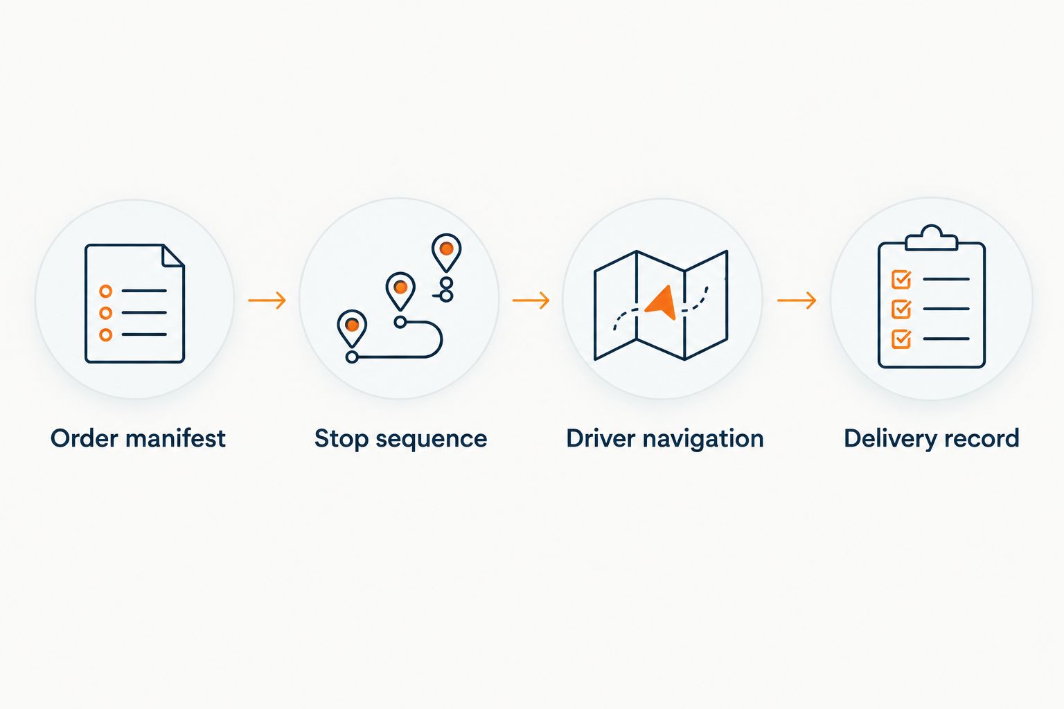
Driver navigation
Use these instructions in the Google Maps Android app after the dispatcher approves the stop order. Configure the route while parked.
- Open Google Maps, search for the first delivery address, and tap Directions.
- Change the starting location to the approved store pickup address. Select the driving option rather than walking or public transit.
- Open the three-dot menu and tap Add stop. Enter the next destination from the approved manifest, then repeat for the remaining destinations within the app limit.
- Drag the stop handles to match the approved delivery sequence. Google Maps uses the order you supply; do not assume it has optimized the delivery schedule.
- Tap Done. Compare every destination against the manifest, including the final stop and any store return.
- Tap Start when the driver is ready to depart. Keep order details accessible separately from navigation.
Expected result: Google Maps displays driving directions through the approved destinations in the intended order. The driver can identify which order belongs to the next stop without relying on the map alone.
Google Maps Help's 9-stop limit includes the final destination. For routes beyond that limit, use approved route segments or a next-stop handoff; do not squeeze multiple customers into an ambiguous destination label.
During your 2026 pilot, test the actual phones drivers will carry. Check location permissions, opening links from your chosen communication channel, and returning to the order record after navigation.
Delivery record
Navigation finishes at an address; grocery fulfillment finishes when the delivery outcome is recorded. Keep those events separate.
- Confirm the order at the stop. Match the order identifier and destination before unloading. Use your retailer's procedure for unattended delivery, customer contact, and restricted items where applicable.
- Record the outcome. Mark the order delivered only after the required handoff is complete. Record an exception if the driver cannot access the property or complete delivery.
- Notify dispatch of a change. Report failed deliveries, address corrections, or a delay that affects remaining customer windows.
- Continue from the approved next stop. If dispatch changes the sequence, obtain the revised assignment before proceeding.
Expected result: The order system contains the delivery outcome, while Google Maps remains the navigation tool. Dispatch can distinguish completed deliveries from stops merely visited.
Localexpress provides order management and last-mile grocery delivery. Confirm the delivery-status process available in your setup rather than treating a Google Maps arrival as an order update.
Open the next stop whenever an assignment changes
A second workflow replaces the full multi-stop map with a navigation link for the next approved destination. It is useful when grocery orders become ready at different times or dispatch revises assignments during the route.
This is a workflow design, not confirmation of a native connector. Have your implementation owner verify the events, fields, and driver interface your order system actually supports.
- Choose the trigger. Use an approved driver assignment or an approved address change. Do not generate a dispatch instruction merely because a customer submitted an order.
- Read the current record. Retrieve the order identifier, assigned driver, validated destination, and assignment version. Check that the order remains eligible for delivery.
- Generate a Maps URLs directions request. Google Maps URLs documentation defines parameters including
api=1,destination, andtravelmode=driving. URL-encode the destination; a Maps URL handoff does not require an API key. - Expose the navigation action securely. Present it beside the assigned order in your driver workflow. Send access only to the current driver.
- Replace stale assignments. Show the newest approved destination and remove outdated instructions from the active workflow wherever your implementation permits.
- Test the handoff. Open the link on the driver's phone and confirm the destination before using it on a live delivery.
Google's Maps URLs documentation limits URLs to 2,048 characters and supports up to 3 waypoints in mobile browsers. These are different constraints from the app's multiple-stop limit; test the surface your driver actually opens.
Expected result: The driver opens the current approved destination without retyping the address. Your order workflow still controls assignment, sequencing, and completion.
For 2026 implementation work, start with a single-destination handoff. It is easier to verify than a long waypoint link and avoids making browser behavior part of your dispatch plan.
Troubleshooting
Google Maps opens the wrong entrance
Compare the destination with the customer's confirmed delivery entrance. Correct the address or verified location in the order record, then rebuild the navigation handoff; leave apartment and access instructions in the secure driver record.
The route misses a delivery window
Review the approved sequence and whether planning included parking, unloading, and customer contact. Reassign or resequence through dispatch, then update navigation; changing the driving path alone does not resolve an incompatible order schedule.
A navigation link omits stops
Check the app or browser limit used by the handoff. Split the route into approved segments or send a single next-stop destination. Do not assume a desktop-tested waypoint link behaves identically in a mobile browser.
A driver opens an outdated assignment
Compare the visible order assignment with the current dispatch version. Issue the current instruction and remove stale actions from the active driver view where supported; a previously shared link cannot update itself when an order changes.
Navigation reaches the customer, but the order remains open
Record delivery completion in the order workflow. Arriving at a Google Maps destination does not confirm unloading, customer receipt, or proof of delivery.
Customize your workflow
Expand the process after the handoff works reliably. Add reassignment rules, store-specific pickup locations, exception handling, and a clear dispatcher escalation path.
Use the grocery delivery driver management guide to extend the operational process beyond directions. Track delivery outcomes against promised windows and record the reason for each exception; use your own results rather than assuming navigation produces a particular improvement.
Localexpress is a fit for regional and independent grocers needing grocery ecommerce, order management, and last-mile delivery. Confirm the supported connection method, assignment events, and completion workflow for your implementation before automating the Google Maps handoff.
FAQ
Does Google Maps optimize grocery delivery routes automatically?
Google Maps does not automatically sequence grocery deliveries around delivery windows, order readiness, or vehicle capacity. Approve the stop order in your dispatch workflow, then use Google Maps for driving directions.
How many delivery stops can I add to Google Maps?
Google Maps Help documents up to 9 stops, including the final destination, for a multiple-destination route. Browser-based Maps URLs have separate waypoint limits, so test the interface your drivers use.
Can I connect grocery orders to Google Maps without an API key?
A Google Maps URLs navigation handoff does not require an API key. Your order system still needs a supported way to supply the approved destination and display or send the link to the assigned driver.
Is a Google Maps navigation link the same as route optimization?
No. A navigation link opens directions to supplied destinations; route optimization decides the delivery sequence and assignments using operational constraints.
Will Google Maps mark a grocery order as delivered?
Opening or completing Google Maps navigation does not mark a grocery order delivered. Record the actual delivery outcome in your order or delivery management workflow.
What should I do when a customer changes the delivery address?
Validate the new address and have dispatch approve the revised assignment before generating new directions. Check the remaining delivery windows and make the current instruction clear to the driver.
Does Localexpress have a native Google Maps connector?
This workflow does not establish a native Google Maps connector for Localexpress. Confirm the supported handoff method for your implementation before building assignment triggers or delivery-status updates.
One last thing
Do not mark an order delivered because the driver reached the map pin. The destination can be a parking lot, a locked entrance, or the wrong side of an apartment complex. Make the delivery outcome—not the navigation event—the condition that closes the order.